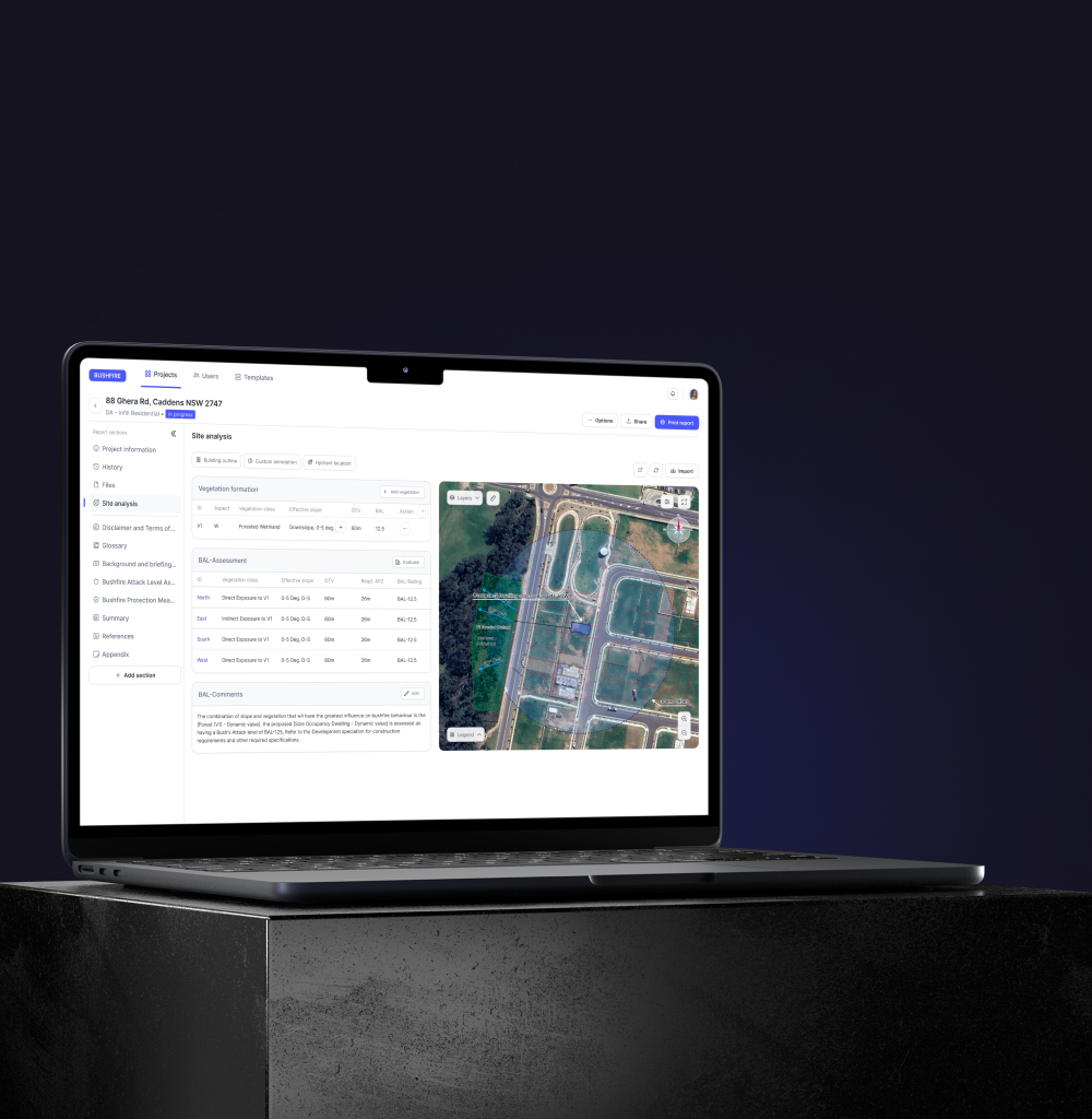
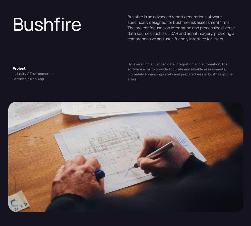
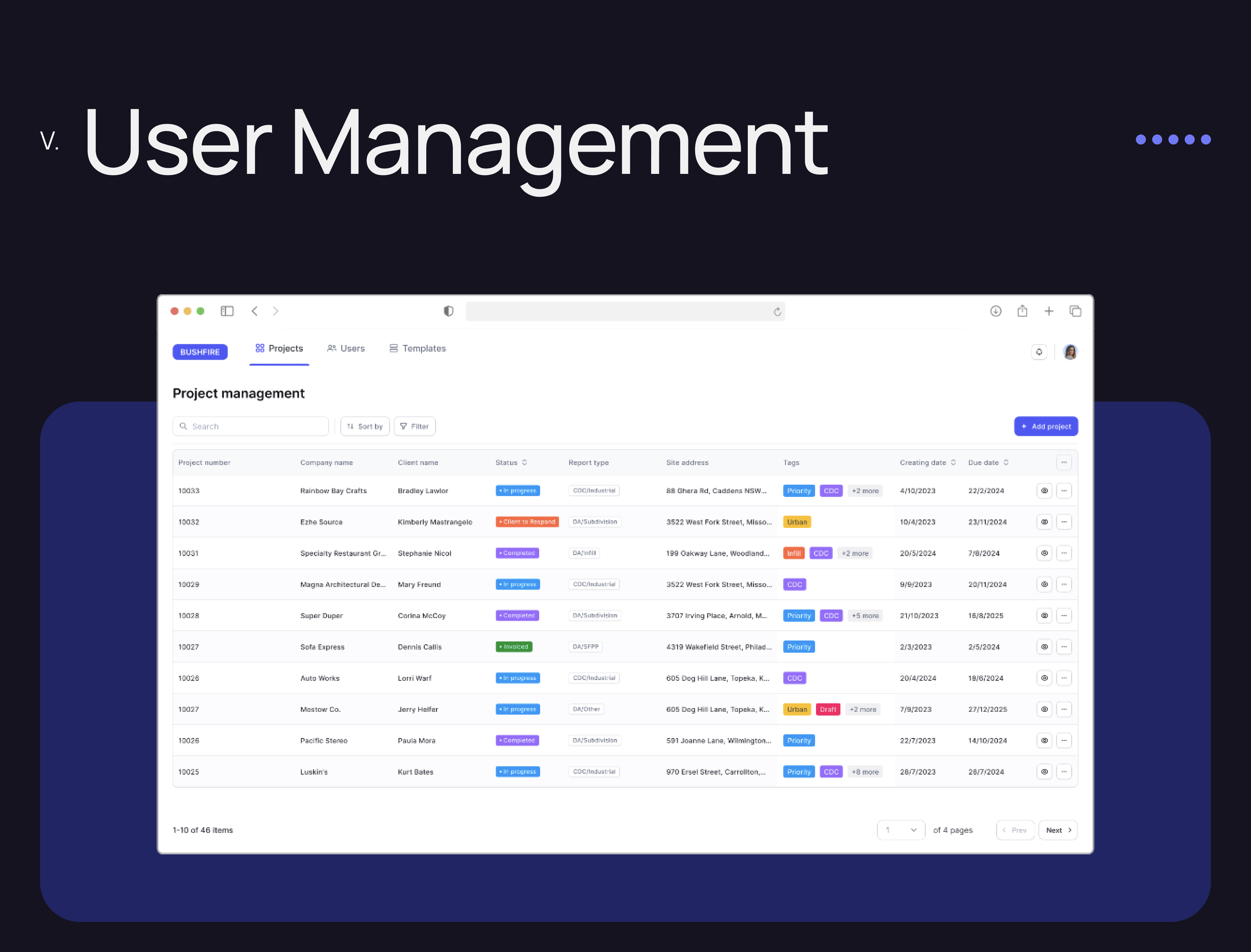
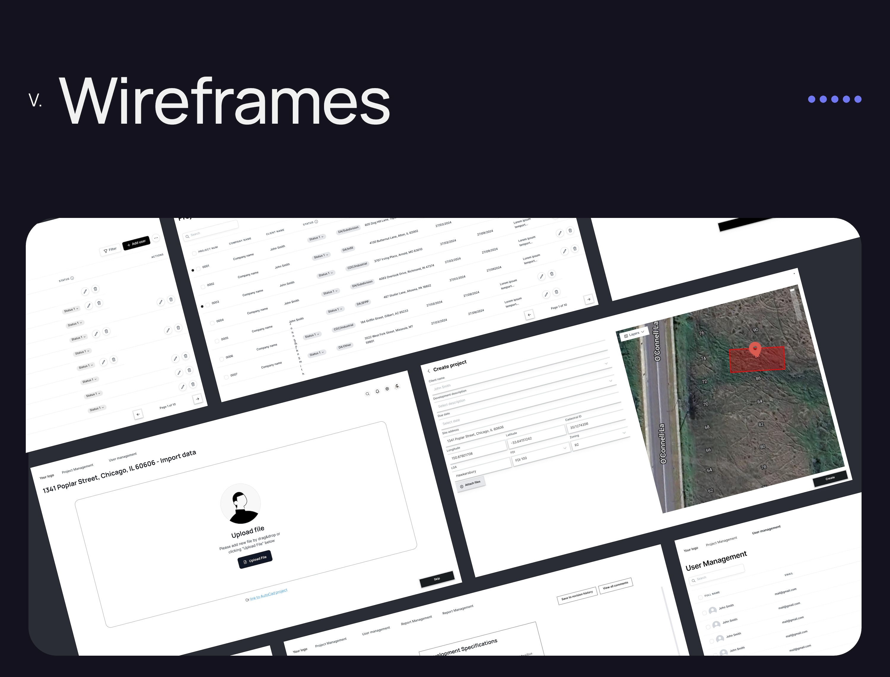
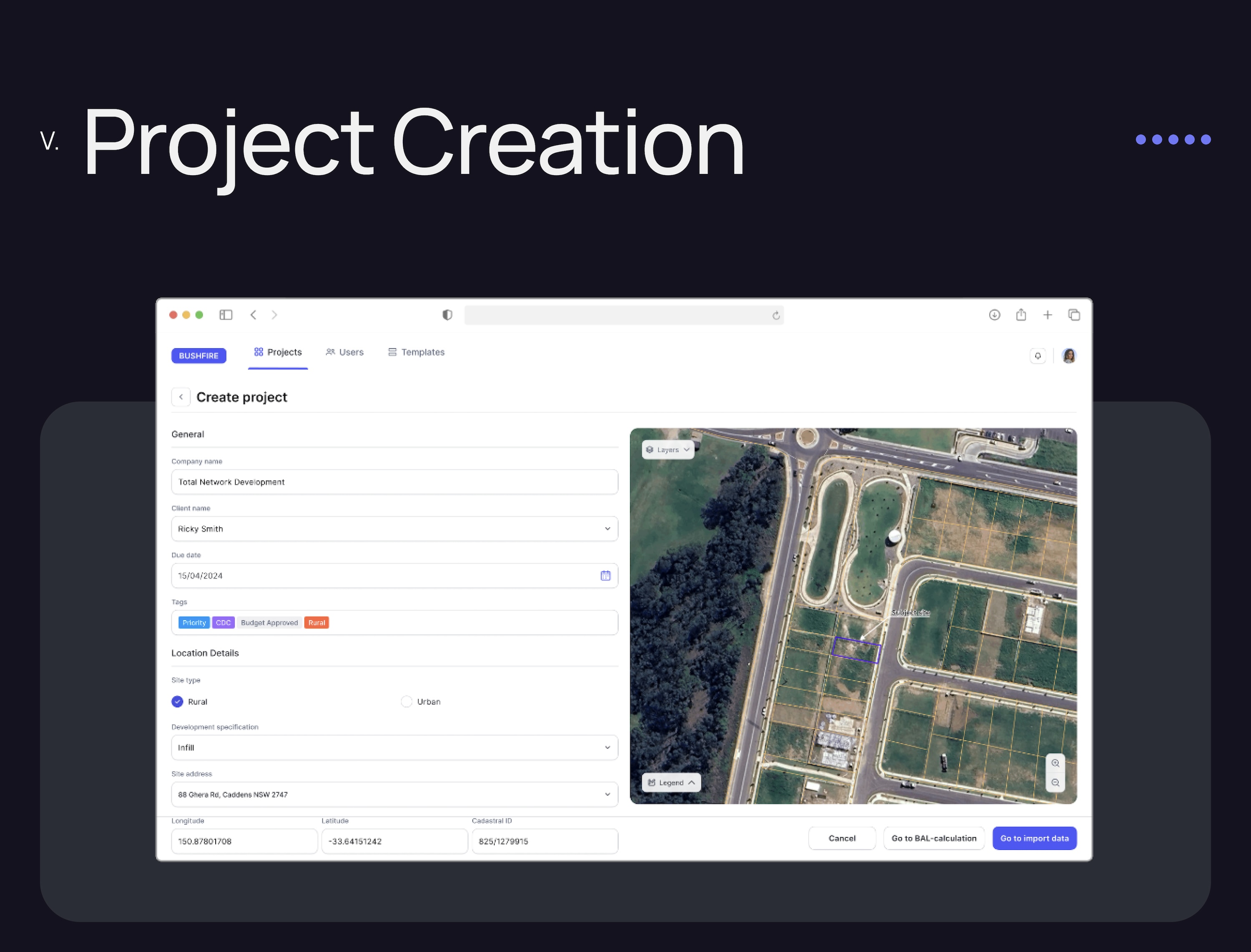
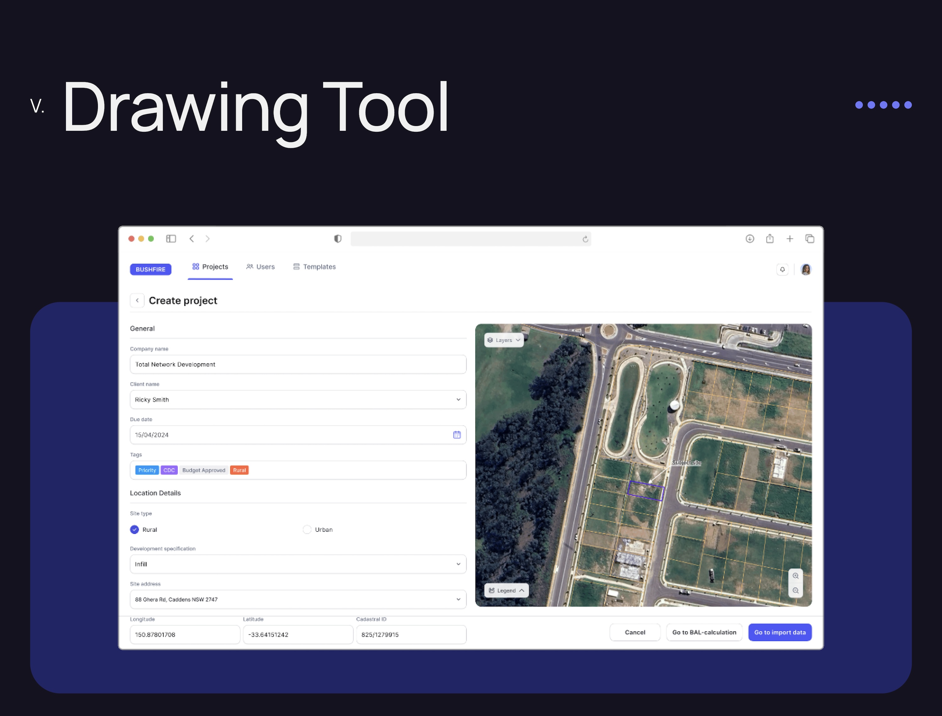
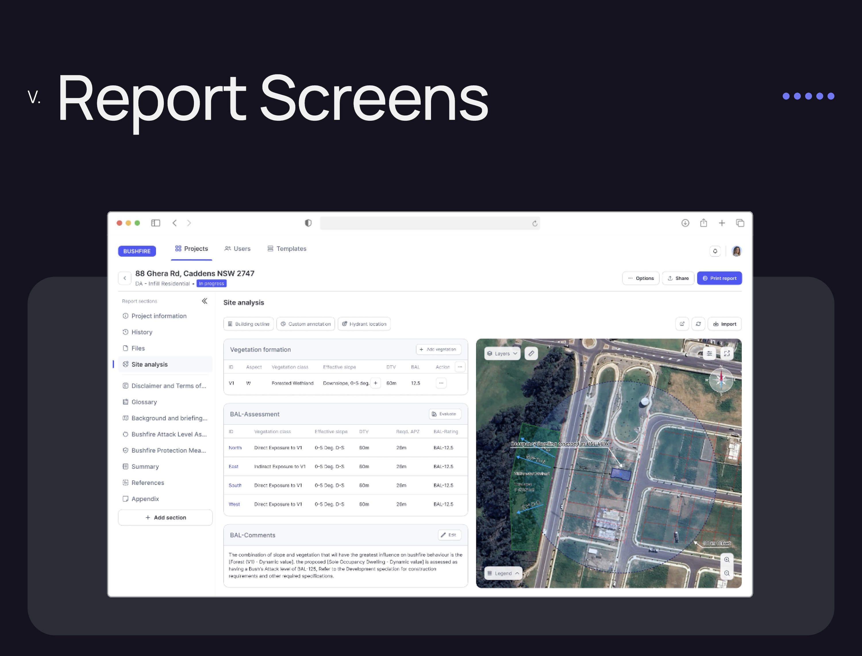
The project involved creating an advanced report generation software tailored for bushfire risk assessment firms. It focuses on integrating and processing various data sources like LiDAR and aerial imagery within a user-friendly interface, incorporating tools for site analysis, automated report generation based on AS 3959 standards, and interactive drawing capabilities. Aimed at streamlining the assessment process, the software is designed to be scalable with potential future expansions.